South Turkestan
Geography
A regional landscape shaped by the Amu Darya, the Hindu Kush, and historic routes across northern Afghanistan.
Regional Setting
Between River and Range
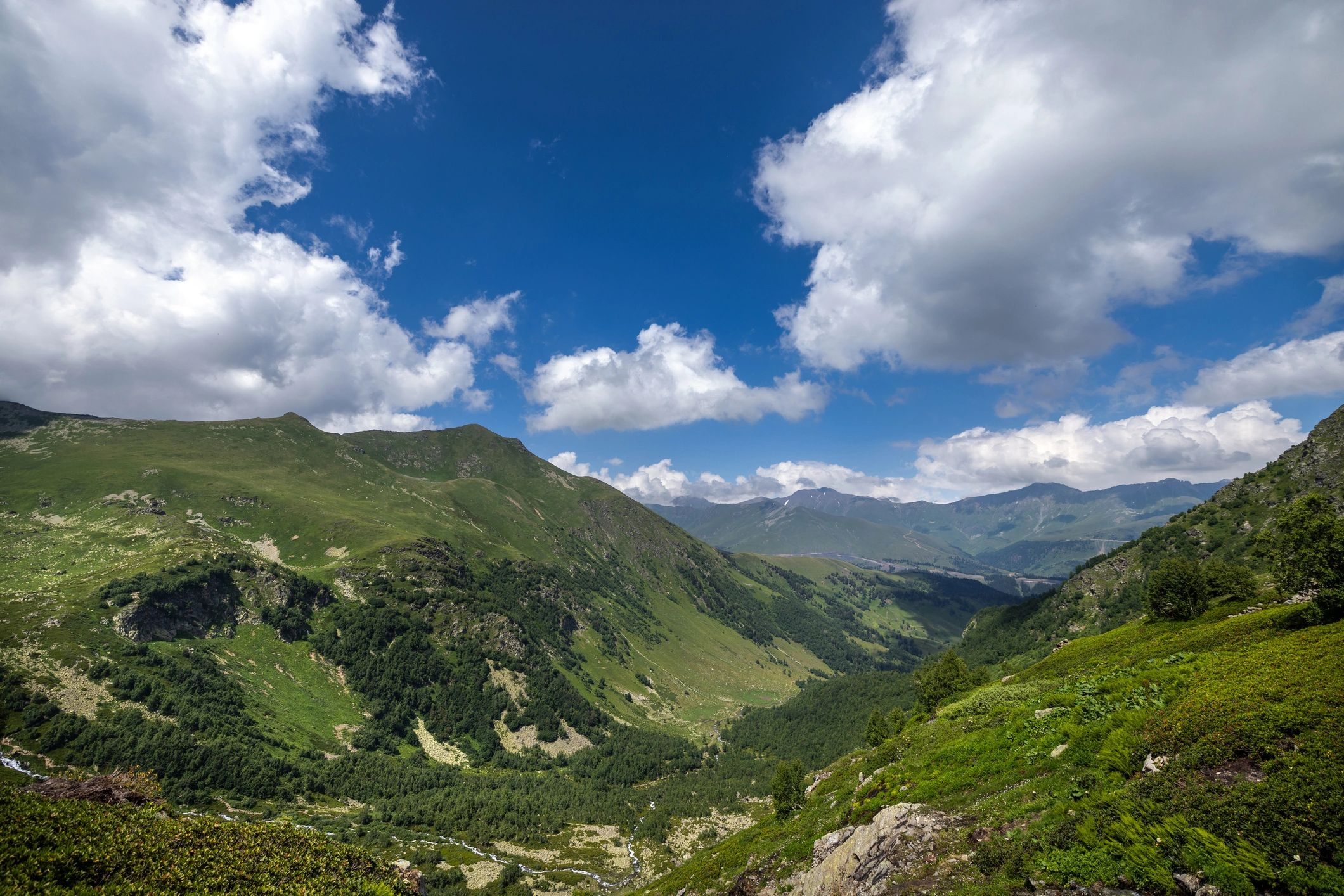
Historic South Turkestan occupies northern Afghanistan, extending between the Amu Darya, known historically as the Ceyhun, and the Hindu Kush. Its plains, foothills, and river corridors have long connected Central Asia with the wider region.
Amu Darya
Hindu Kush
Northern Plains
Historic Crossroads
Landscape
A Geography of Connection
Water, elevation, and seasonal routes have shaped settlement and exchange across the region for centuries.
The Amu Darya forms a defining northern boundary, while the Hindu Kush creates a dramatic southern horizon. Between them, agricultural plains and oasis settlements supported communities, markets, and travel.
This geography helped make South Turkestan an enduring meeting place for cultures moving along the Silk Road.
Continue Exploring
Follow the Historical Landscape
Learn how geography, communities, and trade routes shaped the heritage of South Turkestan.